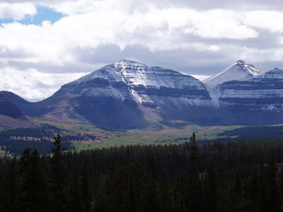
Conditions Right Now
Use sunset as your turnaround alarm.
Why Hike This
The thing nobody tells you about Utah's highest point is that you drive into Wyoming to start it. The Henrys Fork trailhead is about 29 miles out of Mountain View, Wyoming, and the 10.45 mile approach trail eats most of the distance before any real climbing begins. No permit is required for the High Uintas Wilderness, which at 453,900 acres is the largest in the state. Start the summit push early, because afternoon storms build fast at 13,528 feet.
The Trail
Utah's 13,528 ft rooftop - usually a 2-3 day backpack via Henrys Fork.
Pack Loadout (Strenuous)
3+ liters water, broken-in boots, layers for weather swings, headlamp, real food (jerky, trail mix), trekking poles, first-aid kit, and an early start.
Getting There
Make it a weekend: Uinta Backcountry Lakes (Fishing, 20 mi) · Moon Lake (Fishing, 25 mi) · Moon Lake Campground (Camping, 25 mi) · Duchesne River (Fishing, 31 mi)
More hikes nearby: Amethyst Lake (Hike, 25 mi) · Ruth Lake (Hike, 31 mi) · Lofty Lake Loop (Hike, 31 mi) · Fehr Lake Trail (Hike, 33 mi)
Quick Answers
- How long is the Kings Peak hike?
- 28.8 miles round trip with 5411 feet of elevation gain.
- How hard is Kings Peak?
- Strenuous. Kid rating: 1 out of 5.
- When should I hike Kings Peak?
- Best season: July-Sept.
- Why hike Kings Peak?
- Because it is the 13,528 foot roof of Utah and the only way up is to earn it over 28.8 miles. The Forest Service does not require a permit for the High Uintas Wilderness, so the barrier is fitness and weather, not paperwork. Two nights out makes it a trip rather than a sufferfest.